Bosnia nature & history · 8 min read
Sutjeska National Park: Bosnia's Highest Peak, Its Last Primeval Forest, and Tito's Battle
Sutjeska — Bosnia's oldest national park (1962). Maglić peak 2,386m, Perućica primeval forest, Battle of Sutjeska 1943 monument. 3h drive from Mostar.
Quick answer
Sutjeska — Bosnia's oldest national park (1962). Maglić peak 2,386m, Perućica primeval forest, Battle of Sutjeska 1943 monument. 3h drive from Mostar.
Sutjeska is the kind of place every Bosnian knows about and almost no foreign tourists visit. It packs three completely different draws into one 160 km² national park:
- Maglić — Bosnia’s highest peak (2,386 m)
- Perućica — one of Europe’s last primeval forests
- The Battle of Sutjeska — the WWII battle that defined Yugoslav identity
It’s about 3 hours’ drive from Mostar (north-east via the Drina valley), and worth every minute.
Bosnia’s oldest national park
Sutjeska was established in 1962 — the first national park in Yugoslavia’s Bosnian republic, and still the oldest in BiH. It covers 160.52 km² along the Sutjeska river canyon and the surrounding Maglić-Volujak-Zelengora mountain ranges.
The park sits on the eastern border with Montenegro. The Sutjeska river carves a canyon up to 1,200 m deep through the centre. The watershed feeds into the Drina to the north and ultimately the Black Sea.
Maglić — Bosnia’s roof
Maglić (2,386 m) is the highest peak in Bosnia & Herzegovina. The summit ridge straddles the BiH–Montenegro border — you can technically have one foot in each country at the top.
The standard ascent:
- Drive to Prijevor saddle (~1,650 m), the highest road in the park
- Marked trail south-west to the summit
- 4–5 h up, 3–4 h down — full day
- Final 200 m involves exposed scrambling on chains/cables in places
- Best late June through September. Snow lingers into early summer
Day-hikers in good weather have stunning 360° views: Drina canyon to the north, Durmitor in Montenegro to the south, and the Perućica forest spread out 1,500 m below.
Perućica — the primeval forest
Perućica is the reason ecologists fly in. 1,434 hectares of completely untouched primary forest — never logged, never managed, never replanted. It is one of only two surviving primeval forests in Europe (the other is Białowieża in Poland/Belarus).
Inside Perućica:
- Beech and silver fir trees up to 60 m tall
- Some specimens over 300 years old
- Skakavac waterfall — 75 m drop
- Wolves, brown bears, lynx, golden eagles, capercaillie
You cannot enter Perućica unaccompanied. The reserve is “strict zone 1” — entry only with an official park ranger guide, on designated days, by advance booking through the park visitor center at Tjentište. The standard tour is 4–5 hours and ends at the Skakavac waterfall viewpoint.
The Battle of Sutjeska — 1943
Between 15 May and 16 June 1943, Sutjeska valley was the site of one of the largest battles in the Balkans during WWII.
The setup: Axis forces (Germans, Italians, Bulgarians, Croatian Ustaše, Chetniks) had encircled Marshal Tito’s Yugoslav Partisans with 127,000 troops in Operation Schwarz (“Operation Black”). The Partisans — ~19,700 fighters plus thousands of wounded and civilians — were trapped in the Sutjeska valley.
The breakout: Over five weeks of fighting, the Partisans broke through the Axis lines at the Sutjeska river, taking massive losses but escaping encirclement. ~7,500 Partisans killed — including over 600 women combatants. Tito was wounded by a bomb fragment but survived.
Why it matters: Sutjeska became the founding myth of socialist Yugoslavia — proof that the Partisan movement could survive Hitler’s full force. After 1945, every Yugoslav schoolchild learned the names of Sutjeska commanders. Streets, factories, and football clubs across the country were named “Sutjeska.”
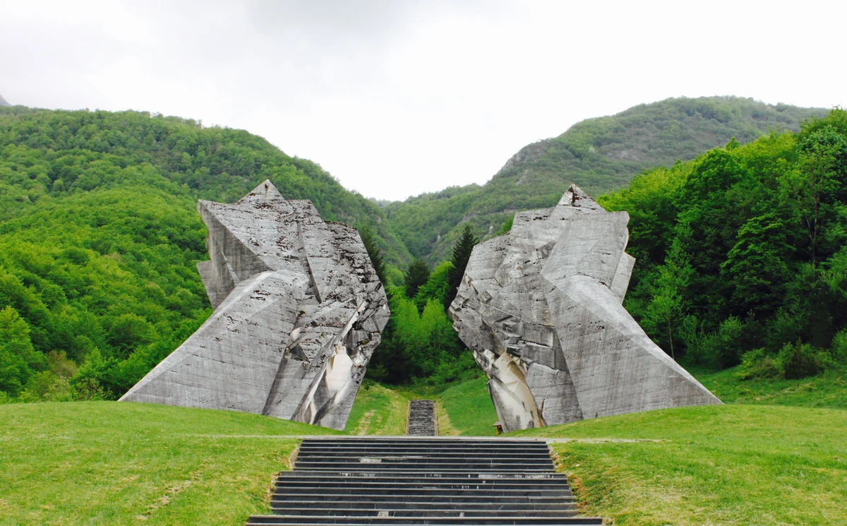
The Tjentište monument — two enormous concrete wings rising 19 m on either side of a memorial path, designed by sculptor Miodrag Živković in 1971 — is one of the most famous Yugoslav-era WWII memorials. Even now, decades after Yugoslavia’s collapse, it draws visitors of all backgrounds.
How to visit (from Mostar)
Drive: Mostar → Sarajevo (M-17, 130 km, 2 h) → Foča → Tjentište. Total ~3.5 h.
Or via Trebinje: scenic but slower (4+ h, smaller roads).
Where to stay: small hotels and pensions in Tjentište, Foča, or just outside the park boundary at the Vrbnica river mouth.
Park entry: 3–5 KM (€2–3). Guided Perućica tour 30–40 KM (€20).
Best months: June–September. Spring still has snow on Maglić; winter the road to Prijevor is closed.
What to combine it with
A 2-day weekend works well:
- Day 1: Drive in, Tjentište monument + visitor center, Perućica guided tour
- Day 2: Maglić summit (full day), drive back
Easy combines:
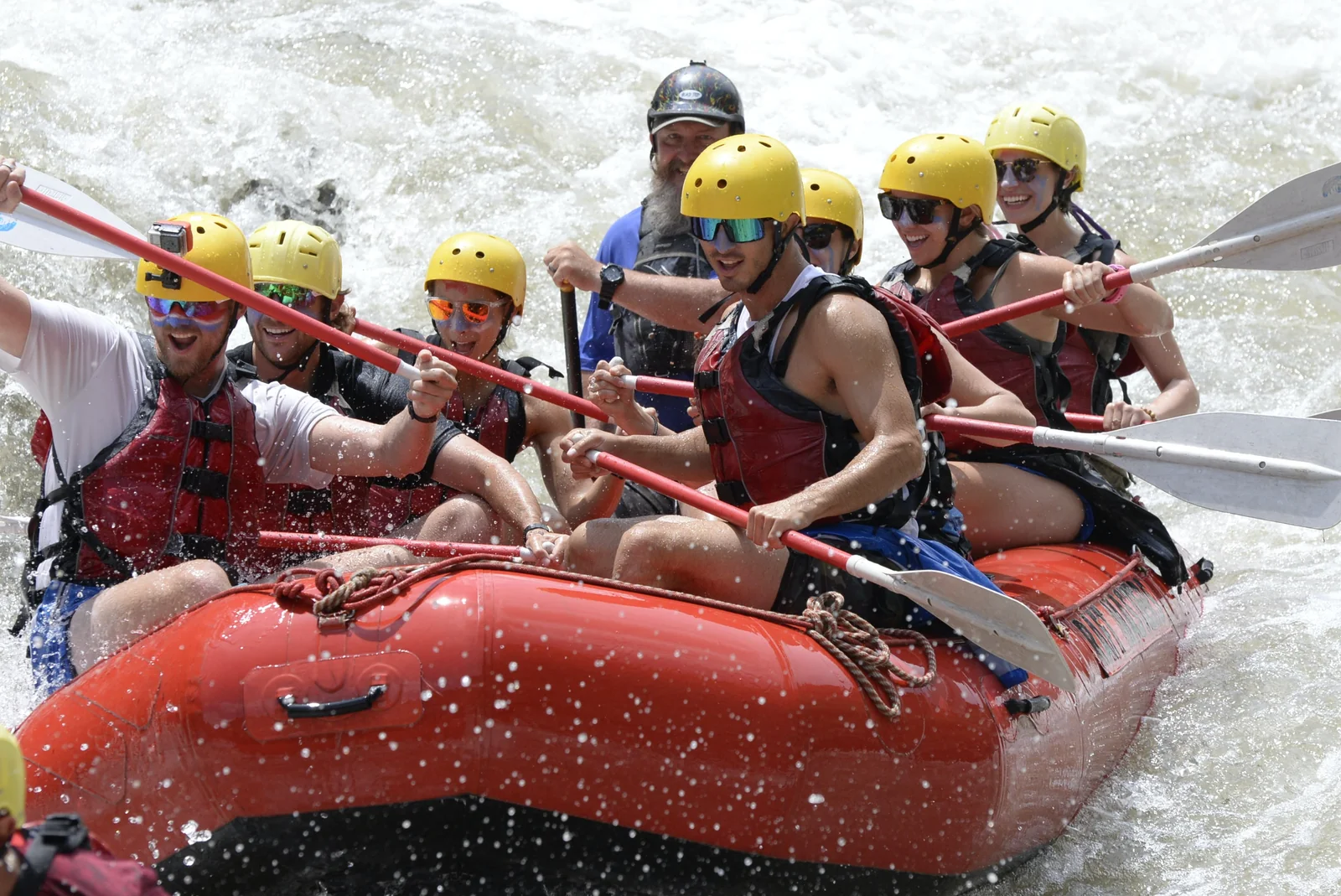
- Tara River rafting — runs along the park’s eastern edge in Montenegro
- Battle of Neretva — the WWII battle 4 months before Sutjeska, in the Hercegovina valley
- Konjic to Sarajevo — natural waypoint if you’re driving in from Mostar
FAQ
Frequently asked questions
Where is Sutjeska National Park?
South-eastern Bosnia & Herzegovina, near the Montenegro border. Foča is the closest town (20 km). About 110 km from Sarajevo, 142 km from Dubrovnik, ~250 km from Mostar (3–3.5h drive).
Is it BiH's oldest national park?
Yes — established 1962, the country's first national park. Covers 160 km² centered on the Sutjeska river canyon and Maglić mountain massif.
How tall is Maglić?
2,386 m — the highest peak in Bosnia & Herzegovina. The summit straddles the BiH–Montenegro border. The hike is one of the classic Balkan ascents — 8–10 hours round trip from Prijevor saddle, exposed scrambling near the top.
What is Perućica?
A 1,434-hectare strict nature reserve inside the park — one of the last two primeval forests in Europe (untouched by humans). Some beech and fir trees are over 300 years old and 60 m tall. Entry is restricted; must be with an official park guide.
What was the Battle of Sutjeska?
A WWII battle (15 May – 16 June 1943) where Yugoslav Partisans under Tito broke out of an Axis encirclement of 127,000 troops with 19,700 fighters. ~7,500 Partisans killed including over 600 women fighters. Among the most-mythologised events in Yugoslav history. The Tjentište monument honours the battle.
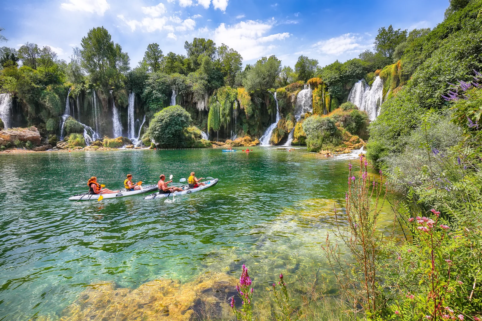
Is rafting available in the park?
Yes — the Tara river runs along the park's eastern edge, and Tara River rafting trips depart from villages just outside the park boundary. The Sutjeska river itself is too small for rafting but excellent for swimming/wading.