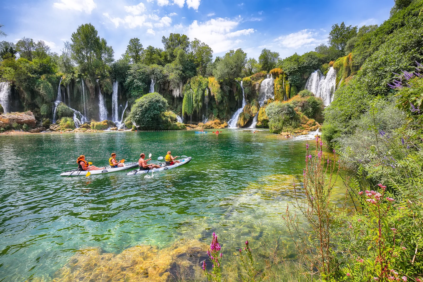
Hercegovina nature · 6 min read
Velež: Mostar's Mountain (and Why It's Named After a Slavic God)
Velež — the mountain rising directly above Mostar. Botin peak 1,969 m, abandoned Yugoslav military bunker, 6–8h hike. Named after the old Slavic god Veles.
Quick answer
Velež — the mountain rising directly above Mostar. Botin peak 1,969 m, abandoned Yugoslav military bunker, 6–8h hike. Named after the old Slavic god Veles.
Velež is the limestone wall that hangs over Mostar to the east. Most travellers see it from below — from the Old Bridge it fills the eastern horizon. Few realize it’s hikeable, that the summit has an abandoned Cold War bunker, or that it’s named after a Slavic god.
A mountain named after a god
The name Velež comes from Veles — the old Slavic god of the underworld, livestock, magic, and earth. When the Slavic tribes arrived in Hercegovina in the 7th century AD, they kept the pre-Christian name. It survived through Ottoman rule, Austro-Hungarian rule, two Yugoslavias, and a war.
The name shows up everywhere locally. FK Velež, Mostar’s older football club (founded 1922), takes its name from the mountain. So does the Velež ski hut, the Velež hiking association, and dozens of cafés and bars in town.
The mountain itself
Velež is technically a massif — a ridge of limestone with multiple peaks rather than a single summit:
| Peak | Height | Notes |
|---|---|---|
| Botin | 1,969 m | Highest point. Long approach from the eastern flank |
| Brasina | 1,900 m | The peak you see from Mostar — most popular target |
| Vilinjak | 1,961 m | Adjacent to Botin, slightly lower |
The geology is classic Dinaric karst: bare grey limestone, dolines (sinkholes), no surface water above 1,200 m, and dramatic exposed cliffs on the western face that drops straight toward Mostar.
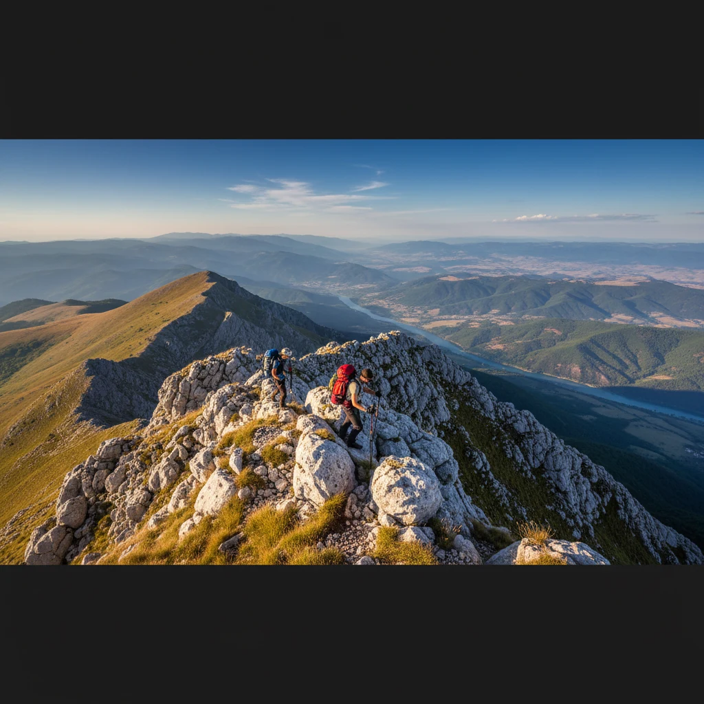
Hiking it
The standard route starts at Fortica — the same plateau where the Fortica Sky Walk is. From Fortica, a marked trail runs east across an alpine pasture, then up steep limestone scree to Brasina (4–5 hours up, 2–3 hours down).
Trails are intermittently marked with red-and-white circles. Above 1,500 m the path becomes a goat track over loose stone — sturdy boots only, no sandals.
Water sources are essentially nonexistent above the treeline (carry 2 liters minimum in summer). The mountaineering hut Dom Velež at ~1,300 m occasionally has open weekends — check with the Velež hiking association before relying on it.
The Yugoslav bunker
At the summit there’s a former JNA (Yugoslav National Army) communications base — built during the Cold War as part of the Yugoslav anti-aircraft and signals network. It was abandoned after 1992 and never demilitarized in the same way as some other facilities.
The above-ground concrete is heavily graffitied. The interesting part is underground: tunnels descending roughly 50 m below the summit, with rooms that once housed comms equipment. It’s open and unguarded — anyone can walk in. Bring a headlamp: it’s pitch dark inside, debris on the floor, and no signage.
What to combine it with
Velež is a half-day to full-day commitment depending on the peak. Easy combines:
- Fortica Sky Walk — same trailhead, glass viewing platform with a view back over Mostar
- Mostar travel guide — base for the trip
- Drive across the ridge to Bivolje Brdo / Nevesinje field (the eastern side) — wild country, almost no tourists
FAQ
Frequently asked questions
How tall is Velež?
Botin, the highest peak, is 1,969 meters. Brasina, the peak most visible from Mostar, is 1,900 meters. Velež has multiple peaks above 1,800 m strung along a ridge — it's a massif, not a single summit.
Why is it called Velež?
Named after Veles, an old Slavic god of the underworld, livestock, and earth. Slavic settlers in the 7th century kept the name when they arrived in Hercegovina. The Mostar football club FK Velež takes its name from the mountain.
Can I hike it without a guide?
Yes, but the trail above Fortica is unmarked in places and the upper ridge has loose limestone scree. Possible solo if you're an experienced hiker with a GPS track. First-timers should join a guided hike or use the AllTrails / Wikiloc tracks.
How long does the hike take?
Round trip from Fortica trailhead: 6–7 hours moderate pace, ~800m elevation gain to Brasina. The longer route to Botin (1,969m) is 8–9 hours, ~1,250m elevation gain, ~19 km.
What is the abandoned military base?
A former Yugoslav National Army (JNA) communications bunker built into the rock at the summit. Underground tunnels go ~50 meters deep below the peak. Open and unguarded — bring a headlamp if you want to explore inside.
When is the best time to hike?
May to October. The summit holds snow into May. June and September are ideal — long days, stable weather, no crowds. Avoid July–August midday for heat. Winter ascents require crampons and avalanche awareness.