Hercegovina nature · 6 min read
Čvrsnica & Diva Grabovica: Bosnia's Most Beautiful Hidden Valley
Čvrsnica massif — Pločno 2,228 m, Diva Grabovica canyon, Hajdučka Vrata stone arch. Endemic Munika pine. Home to chamois. 1.5h drive from Mostar via Jablanica.
Quick answer
Čvrsnica massif — Pločno 2,228 m, Diva Grabovica canyon, Hajdučka Vrata stone arch. Endemic Munika pine. Home to chamois. 1.5h drive from Mostar via Jablanica.
Čvrsnica is the mountain you see if you drive from Mostar to Jablanica on the M-17 — a vast pale-grey limestone wall on the right, dropping straight to the Neretva. It’s Hercegovina’s second-highest peak after Maglić in Sutjeska, and arguably the most visually dramatic mountain in the country.
The numbers
| Feature | Detail |
|---|---|
| Highest peak | Pločno — 2,228 m |
| Other peaks | Veliki Vilinjak 2,118 m, Mali Vilinjak, Pločnik |
| Land area | ~330 km² — one of the larger massifs in Bosnia |
| Edges | Bordered by the Neretva river (20 km) on the east, Diva Grabovica canyon (6 km) cutting in from the east |
| Climate zones | Mediterranean at the base, Central European on the flanks, Alpine on the summits |
| Endemic flora | Munika pine (Pinus heldreichii), Bosnian lily |
| Wildlife | Balkan chamois, brown bear, wolf, golden eagle, capercaillie |
Diva Grabovica — the canyon valley
The standout feature is Diva Grabovica — a deep glacial valley that cuts into Čvrsnica’s eastern flank for 6.2 km. Floor at ~700 m, vertical limestone walls rising to 1,500 m on both sides. The light at the bottom of the valley shifts dramatically as the sun crosses overhead — almost no direct sunlight for most of winter.
You reach Diva Grabovica via a small unmarked road off the M-17 between Jablanica and Mostar (look for the brown sign near Glogošnica). The road is paved for the first ~3 km, gravel for the last 4 km. A small village sits at the canyon mouth — the end of the road, where most hikes begin.
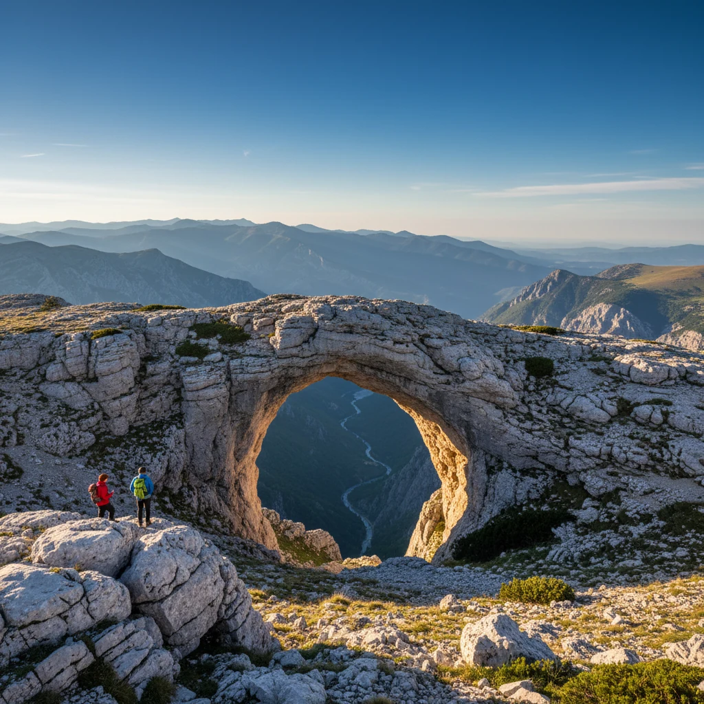
Hajdučka Vrata — the outlaw’s gate
High on the western slopes of Čvrsnica is a natural stone arch about 20 meters wide, called Hajdučka Vrata (“hajduk’s gate” or “outlaw’s gate”).
The name comes from the Ottoman-era hajduci — Christian outlaws and rebels who hid in these mountains, raided Ottoman caravans, and were variously praised or hunted depending on whose side you were on. Mijat Tomić, a 17th-century hajduk hero from this region, is the most famous — half-historical, half-folk-song.
Reaching the arch is a serious day-hike: 5–6 hours one way from Diva Grabovica, ~1,200 m elevation gain. Best done in summer with a guide.
Hiking Pločno
The summit hike is one of the classic Bosnian peaks but rarely crowded.
Standard route from Diva Grabovica:
- Drive to the village (1.5 h from Mostar)
- Hike via marked trail through Munika pine forest
- 6–7 hours up, 4 hours down
- ~1,500 m elevation gain
- Trail mostly marked but exposed in the upper sections
Weather window is June through early October. Above 2,000 m the limestone is bare, water sources are essentially zero, afternoon thunderstorms are common.
The Republic of Mijat Tomić
In the saddle between Čvrsnica and Vran sits a small parody micronation — the Hajdučka Republika Mijata Tomića (“The Hajduk Republic of Mijat Tomić”). A wooden border post, hand-stamped passports for hikers, half a dozen wooden cabins.
It’s a tongue-in-cheek tourism project celebrating the hajduk legacy. Stop, get the stamp, take a photo, move on. Functionally just a remote restaurant + bar, but it’s part of the local mountain culture now.
What to combine it with
- Jablanica Lake guide — base village + lake at the foot of the mountain
- Prenj — Čvrsnica’s eastern neighbor across the Neretva, similar character
- Battle of Neretva — the 1943 WWII battle was fought along the Neretva at the foot of Čvrsnica
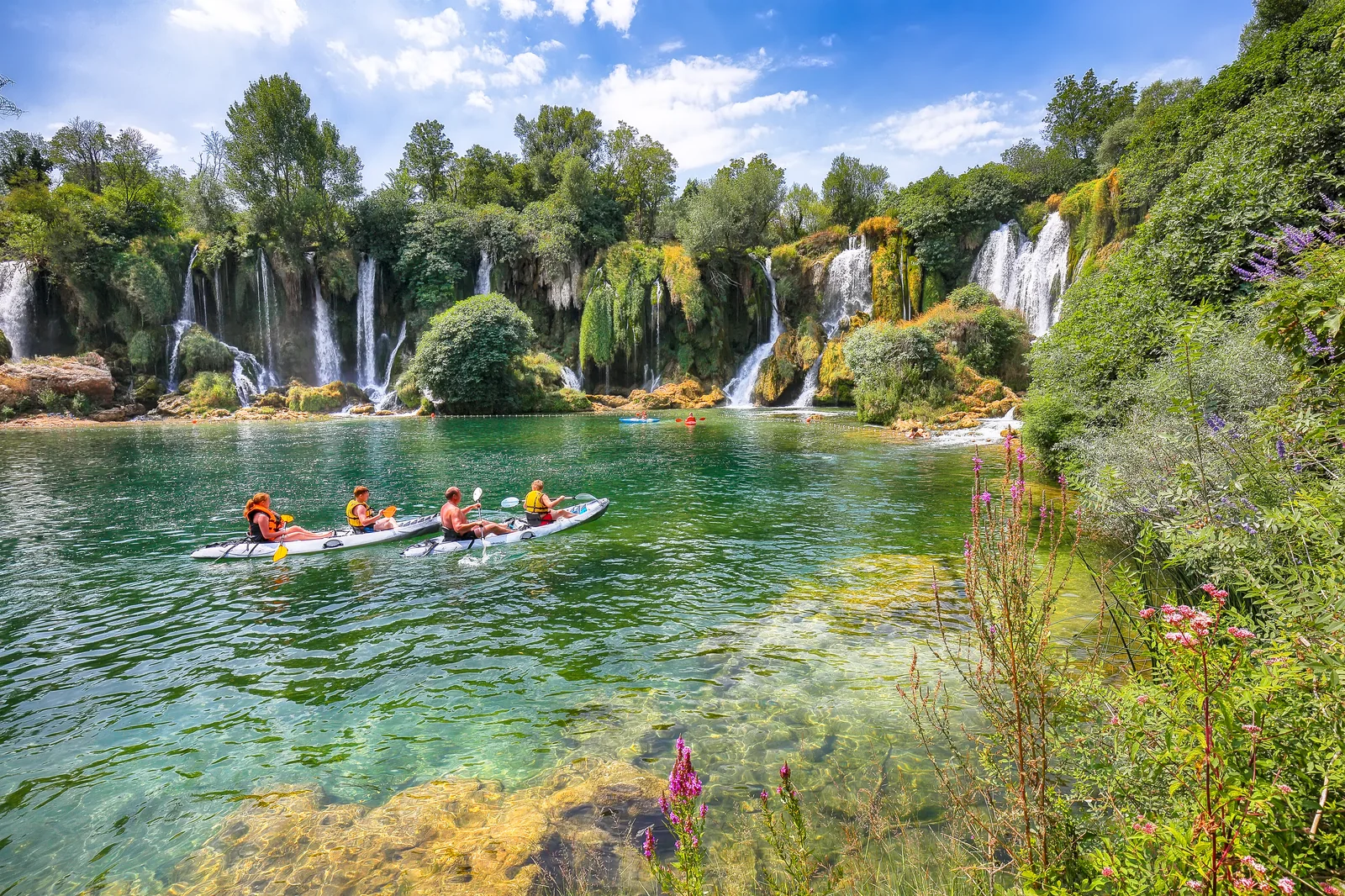
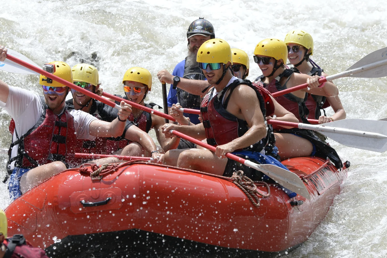
- Mini rafting Konjic — 1 h north, easy half-day after a hike
- Mostar travel guide — base for the whole trip
FAQ
Frequently asked questions
How tall is Čvrsnica?
Pločno, the highest peak, reaches 2,228 meters — the second-highest summit in Hercegovina after Maglić in Sutjeska National Park. Other notable peaks: Veliki Vilinjak (2,118 m), Pločnik, and Mali Vilinjak.
Where is Čvrsnica?
In northern Hercegovina, mostly between Mostar and Jablanica municipalities, with a small portion in Posušje. The Neretva river runs along its eastern edge for ~20 km. The Diva Grabovica canyon cuts into the mountain from the east.
What is Diva Grabovica?
A 6.2 km canyon valley that cuts deep into the eastern flank of Čvrsnica. The valley floor sits at ~700 m, surrounded by 1,500 m vertical limestone walls. Considered one of the most dramatic landscapes in Bosnia. Reached by a small road off the M-17 between Jablanica and Mostar.
What is Hajdučka Vrata?
A natural limestone arch ('outlaw's gate') high on Čvrsnica's slopes — about 20 m wide. Named after the Ottoman-era hajduci (outlaws/freedom fighters) who hid in these mountains. Reached by a 5–6 hour hike from Diva Grabovica.
Are there bears or chamois?
Yes to both. Čvrsnica is famous as one of the last strongholds of the Balkan chamois (*Rupicapra rupicapra balcanica*). Brown bears and wolves also present. Sightings rare but possible at dawn / dusk in remote sectors.
What's the Republic of Mijat Tomić?
A self-declared parodical micronation in the saddle between Čvrsnica and the Vran mountain. Named after a 17th-century hajduk hero. It's a tongue-in-cheek tourism gag — a small wooden 'border post' and stamps for hikers passing through. Fun photo stop, no real significance.