Hercegovina nature · 7 min read
Prenj: The 'Bosnian Himalayas' Between Mostar and Konjic
Prenj massif — the most rugged mountain in Bosnia. Zelena Glava 2,103 m, eleven 2000m+ peaks, named after Slavic god Perun. Wild, remote, lightly trafficked.
Quick answer
Prenj massif — the most rugged mountain in Bosnia. Zelena Glava 2,103 m, eleven 2000m+ peaks, named after Slavic god Perun. Wild, remote, lightly trafficked.
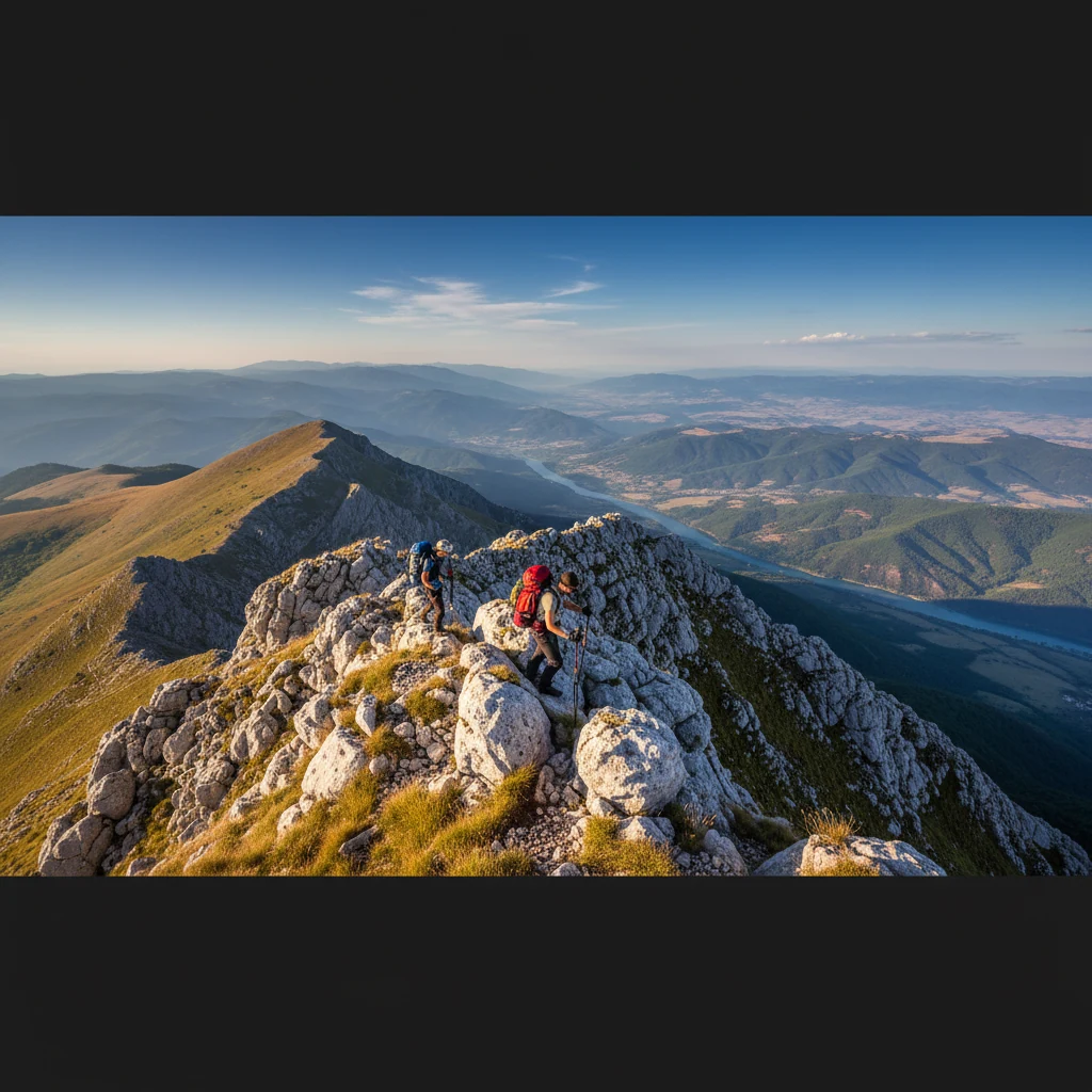
Prenj is the wildest mountain you can drive to from Mostar. It rises straight out of the Neretva valley between Konjic to the north and Jablanica to the west — a bare-grey limestone wall about 20 km long, cresting at Zelena Glava (2,103 m) with another ten peaks above 2,000 m strung along the spine.
Locals call it “the Hercegovina Himalayas” — not because it’s that tall, but because, hike for hike, it punches harder than mountains 1,000 m higher elsewhere in the Balkans.
Where the name comes from
Prenj is a contraction of Perun — the supreme deity of pre-Christian Slavic mythology. God of thunder, war, and the sky. The same Perun whose name shows up in Russian, Polish, and Slovak place-names.
When Slavs settled the area in the 7th century AD, they kept old Illyrian sacred sites and rebranded them. Prenj appears to have been one — a thunder mountain, fitting for the storms that still hammer its peaks every summer afternoon.
(Compare: Velež is named after Veles, Perun’s mythological enemy. The two mountains face each other across the valley. Locals know.)
What’s on it
| Feature | Detail |
|---|---|
| Highest peak | Zelena Glava, 2,103 m |
| Number of 2,000m+ peaks | 11 (Otiš 2,097 m, Lupoglav 2,102 m, Velika Kapa 2,008 m, others) |
| Geology | Karst limestone & dolomite, dramatic cliffs, sinkholes |
| Water | Almost none above 1,500 m (subterranean drainage). Bring 3+ L |
| Notable lake | Boračko Lake (glacial, 396 m, ~25 ha) — north-east flank |
| Endemic species | Bosnian lily (Lilium bosniacum), Munika pine, Bosnian iris |
| Wildlife | Brown bears, wolves, chamois, golden eagles |
Hiking it
There are three main approach routes:
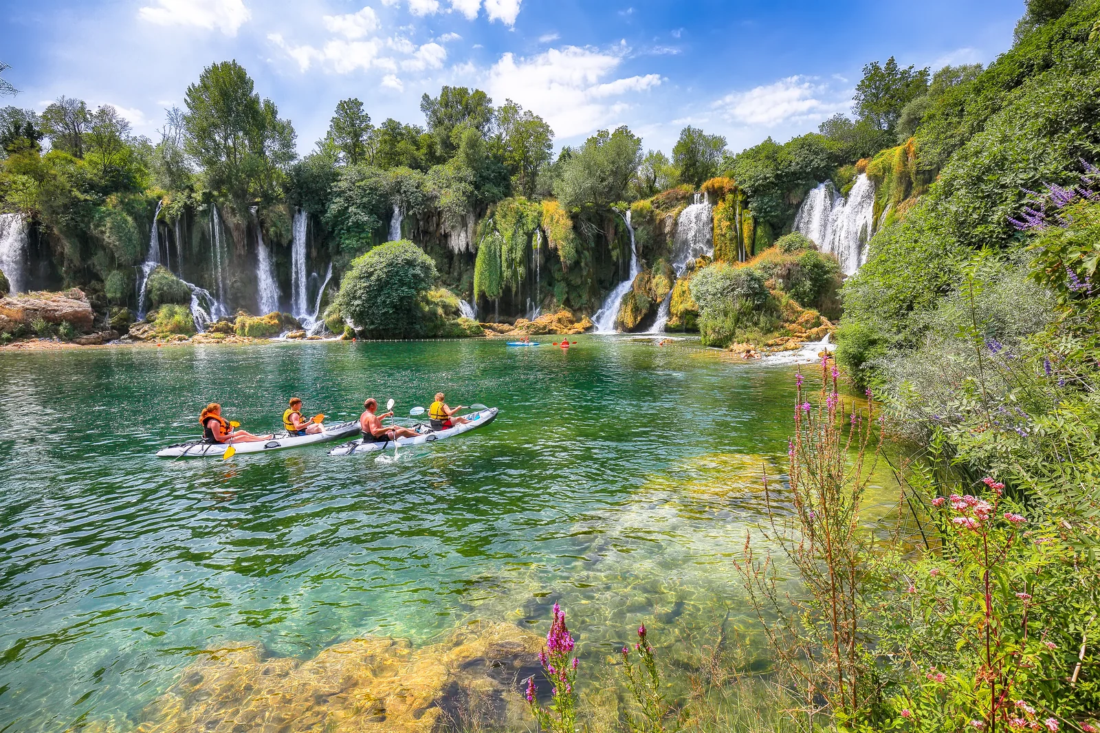
1. From Boračko Lake (east) — most popular 1.5 h drive from Mostar via Konjic. The lake itself is a destination (Boračko Lake guide). From there a marked trail goes up to Lukin Krš (1,841 m) — 5–6 h round trip, doable in a day.
2. From Jablanica (west) — Glogošnica trailhead Trail starts at ~700 m and climbs through old-growth Munika pine to Otiš (2,097 m). Long day: 9–10 h round trip, 1,400 m elevation gain. Rewards: huge views west to Čvrsnica.
3. From Bijela (north) — advanced Most direct ascent of Zelena Glava. Steep, partially scrambling, very little water. Two-day hike with a bivouac at ~1,800 m — only for experienced parties with proper gear.
When to go
- June–early October — main hiking season
- July–August — wildflowers including the Bosnian lily
- Late June — best weather window, snow gone but flowers still blooming
- Avoid mid-afternoon thunderstorms (almost daily in summer above 1,800 m). Start at dawn, off the ridge by 14:00.
What you should know
- Trails are partially marked with red-and-white circles, but markings fade. Carry a GPS track (Wikiloc / OutdoorActive both have routes for Prenj).
- The 2003 first ascent of Vjetrena Brda (Windy Peak) was, per multiple climbing publications, one of the last virgin 2,000m peaks in Europe — the massif was that under-explored even in the 21st century.
- Some flanks still have uncleared mines from 1992–95. Stick to known trails. Don’t wander off.
- Bring food — there’s no restaurant or hut service inside the massif. Boračko Lake village has 2 small konobas at the lake.
What to combine it with
- Boračko Lake — base camp option, easy day-hike alternative
- Konjic day trip — town + Old Bridge + Tito’s bunker, good rest day after a Prenj hike
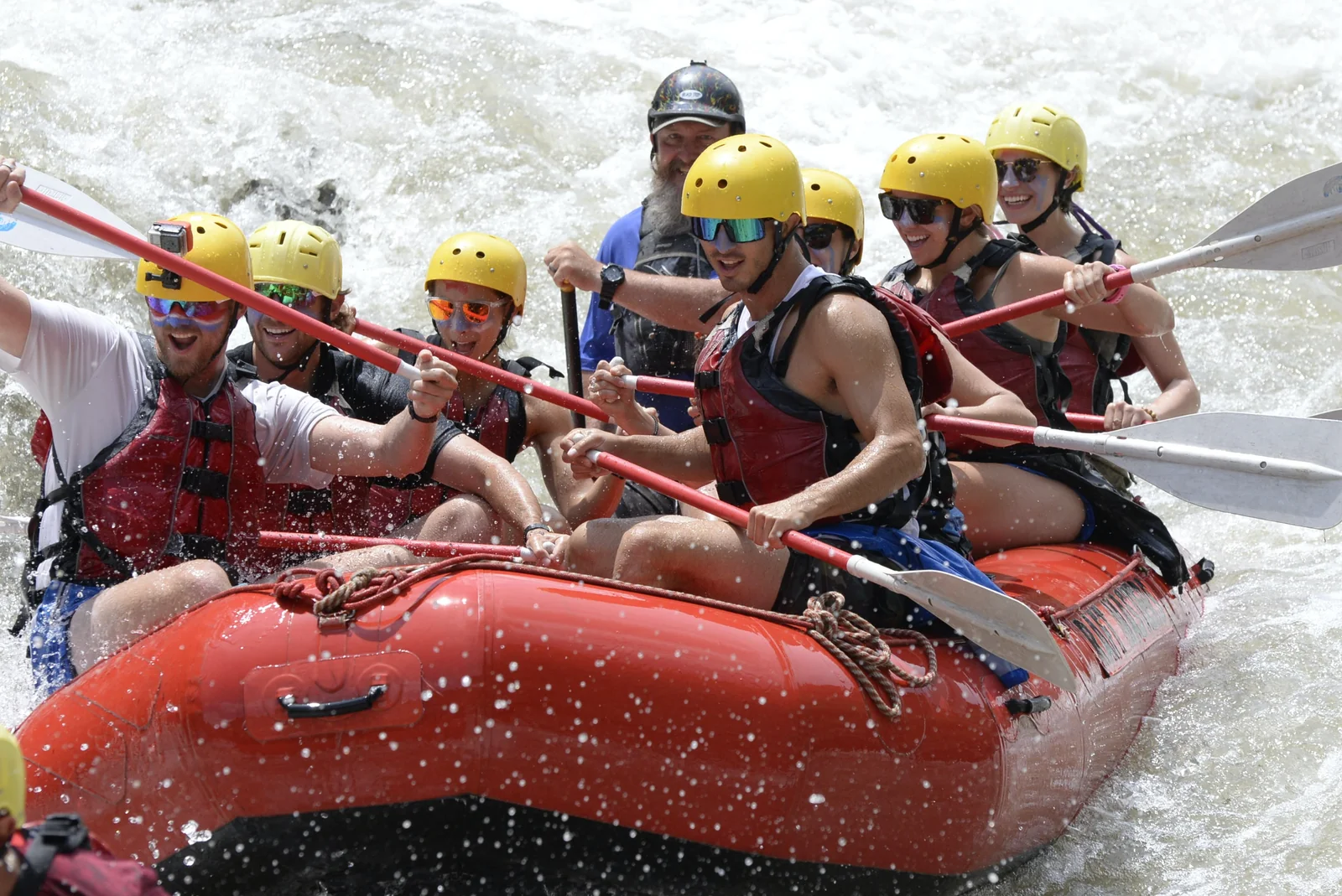
- Tara River rafting — different kind of adventure, 2 hours east
- Sutjeska National Park — Maglić (2,386 m), Bosnia’s highest peak, similar character
FAQ
Frequently asked questions
Why is Prenj called the 'Bosnian Himalayas'?
Because of its raw scale and difficulty relative to its altitude. The massif has at least 11 peaks above 2,000 m packed into a small footprint, with sharp limestone ridges, deep gorges, and minimal infrastructure. It feels alpine despite topping out 'only' at 2,103 m.
How do I get to Prenj?
From Mostar: 1h drive north on M-17 to Konjic or Jablanica. Trailheads start at Boračko Lake (eastern flank, near Konjic), Glogošnica (western flank, from Jablanica), or Bijela (northern flank, advanced). Most need 4WD or a local pickup for the last few km.
Can I hike Prenj without a guide?
Only if you're an experienced mountain hiker with map and compass / GPS. Trails are partially marked but disappear above the treeline. Mobile signal is intermittent. Most ascents take a guide — Hercegovina Hiking, MK Prenj Konjic, or local mountaineering associations run weekly trips in summer.
Are there bears or wolves on Prenj?
Yes — Prenj has one of the larger brown bear populations in Bosnia, plus wolves and wild boar. Sightings are rare and bears avoid hikers. Make noise on trails. Don't camp solo without a tarp/bear-bag for food.
What is the Prenj lily?
*Lilium bosniacum* — an endemic lily species named after the mountain. Yellow-orange, blooms June–July at 1,400–1,800 m. Strictly protected. Don't pick them. They're one of several endemic plants on the massif.
Are there mines (UXO) left from the war?
Some flanks of Prenj saw heavy fighting 1992–95 and not all of it has been demined. Stick to marked trails. Never wander off-path, especially on the southern slopes near old front lines. BHMAC (Bosnia Mine Action) maps are public.